Photo:
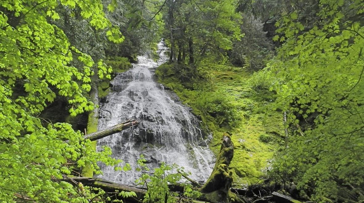
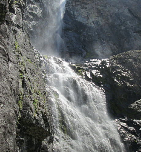
Snoquera Falls. Credit Peter Stevens via Flickr CC
A hike that ends at a waterfall is a perfect family adventure. The dramatic rush and splash of water is a terrific payoff for hikers young and old. And a waterfall makes for a natural turnaround point on a wander through the woods.
We’ve rounded up four favorite South Sound–area waterfall hikes. Though they’re an easy drive from the Greater Tacoma area, we think they’re also worth the trip for waterfall-loving families from all over the Puget Sound region. (Want more terrific waterfall hikes? Check out these hikes in the Greater Seattle area.)
Tips: As with all hikes, you’ll want to bring along the 10 Essentials. Also keep in mind that paths to waterfalls can be slick and muddy, and the rocks around waterfalls can be loose. Get your fill of photo ops from a safe distance, and don’t allow children to play in the falls, swim under the falls or climb up behind them. Always check trail and road conditions before heading out, to stay safe and avoid disappointment; Washington Trails Association trip reports are a great resource.
1. Skookum Flats, Enumclaw
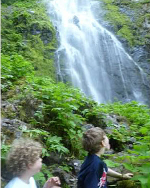
This relatively flat, 4.2-mile hike takes you along a wooded path that winds along the White River. It’s a popular, multiuse trail, so expect company, including lots of dogs (they should be on leashes) and mountain bikers. Our boys loved the giant boulders and massive trees. The climb to the waterfall itself requires goat-like footing, so we suggest younger hikers admire it from the base. We encountered a few downed trees on our last visit, but they were easy to scramble over.
More details: WTA website
Getting there: This hike is accessible off of State Route 410 past Enumclaw. Turn onto Forest Road 73 and find the well-marked trailhead just beyond the bridge. Find a longer option detailed on the WTA site.
2. Snoquera Falls, Mount Rainier area
You usually have to drive farther and work harder to see a waterfall this dramatic. These falls are huge in the spring, then they become a trickle and eventually disappear in late summer. This roughly 4-mile hike is right behind a Boy Scout camp, Camp Sheppard. Tip: Go in the morning so you can find a parking spot. Well-marked trails take you through a lush forest toward the base of the falls, which spill dramatically over rocky cliffs. Admire the falls from the trail and resist the temptation to scramble closer to the base. This is a great turnaround point.
More details: WTA website
Getting there: Drive east on State Route 410 past the Dalles Campground. Look for signage for Camp Sheppard on the left. The parking for the hike is just past the entrance to the Boy Scout camp.
3. Porter Falls, Olympia area
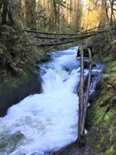
A working, multiuse forest a short drive from bustling Olympia, Capitol Forest is managed by the Department of Natural Resources (DNR), so you’ll need your Discover Pass to park. If you are bothered by evidence of logging or the occasional ATV, this is probably not the outing for you. On our visit, we saw just one other group and enjoyed an easy walk to Porter Falls, a waterfall in a pretty forest.
The most difficult thing about this roughly 2-mile hike is navigating the forest roads to find the trailhead. We suggest setting your maps app to navigate to the Porter Creek Campground. The trailhead is almost directly across from the campground, right by the water spigot.
The initial part of the hike goes up, but it’s a gentle, short climb before it goes down and eventually levels out. The rest of the trail is an easy walk through mossy trees. We encountered some blowdowns, but this was otherwise an pleasant ramble.
The falls are at the confluence of two creeks. Stand carefully and look over when you get your photo ops. During our spring visit, the rivers were swollen and dramatic from recent rainfall.
More details: WTA website
Getting there: The DNR site has downloadable maps and information on Porter Creek Campground, which is directly across from the Porter Falls trailhead. The WTA site has driving directions from Highway 12, as well as recent trip reports. We suggest making sure you have a map before you head out, as the trails and roads in Capitol Forest can be maze-like.
4. Little Mashel Falls, Eatonville area
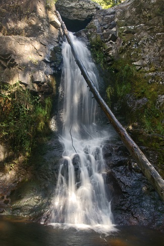
Don’t be fooled by the word “little.” That part of this waterfall’s name refers to the river that feeds it — not the falls themselves. They have plenty of “wow” factor.
Signage to this waterfall has been much improved, but finding it continues to be the trickiest part of the 5-mile hike to Little Mashel Falls. We approached it from Smallwood Park in Eatonville, where you can connect with the last section of the Bud Blancher Trailhead, a flat gravel path from Eatonville to the Pack Forest. After parking, you’ll find the end of the trail just up from the small pond. This part of the hike is flat and skirts private property. Look for bald eagles as you cross the newer cedar bridge.
After you leave the bridge, the trailhead is located just to the left. On our last trip, there was not a sign here, but there were markings on the trees. Just a few yards in, you will also see metal signage pointing the way toward the “Falls Trail.” From here, you begin a gentle but definite ascent, accompanied by the sounds of the river as you hike through the forest.
As you approach the top, there is a small boulder field before a fork to the left with other marked trees. Take this path and you will shortly come to another metal sign indicating the way to the middle falls or upper falls. We took the path marked “Upper Falls Trail” to the right and were rewarded with a spectacular view. There was also a rough path down to the river itself that we chose not to take. This last section was steep and skinny in parts. You may want to send a grown-up ahead to scout it out.
We plan to try the trail marked for the middle falls on another visit, as well as the approach from Pack Forest. Be sure to stick to official paths rather than those carved out by visitors, and use caution on steep terrain, especially if it has been raining. Prepare for truly boot-sucking mud regardless!
Note: Past trip reports indicate people reached the falls by crossing a railroad track. We do not advise this route as you will be trespassing on private property and crossing dangerous railroad tracks.
More details: WTA website
Getting there: We began this hike from Smallwood Park in Eatonville at 436th Street East. You can also start from Pack Forest. Directions can be found on the Pack Forest website.
Editor’s note: This article was originally published several years ago and updated most recently for 2023.


